Pacific Crest Trail
I hiked a quick little section of the Pacific Crest trail this weekend. Originally I had planned on going from Donners Pass south to Squaw Valley and back, which would have been about 30 miles round trip. After looking at the total amount of uphill hiking involved, though, (around 3000ft), I thought I might not be ready for that much. Additionaly, I also realized that the trail head is at 7000+ft, so altitude might also make difference. In lue of those things, I cut it down to 20 miles.

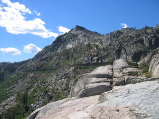
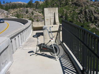
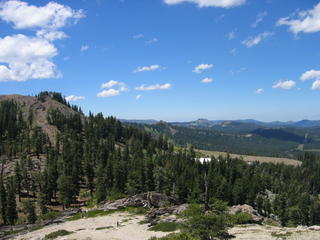
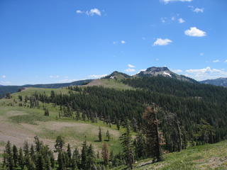
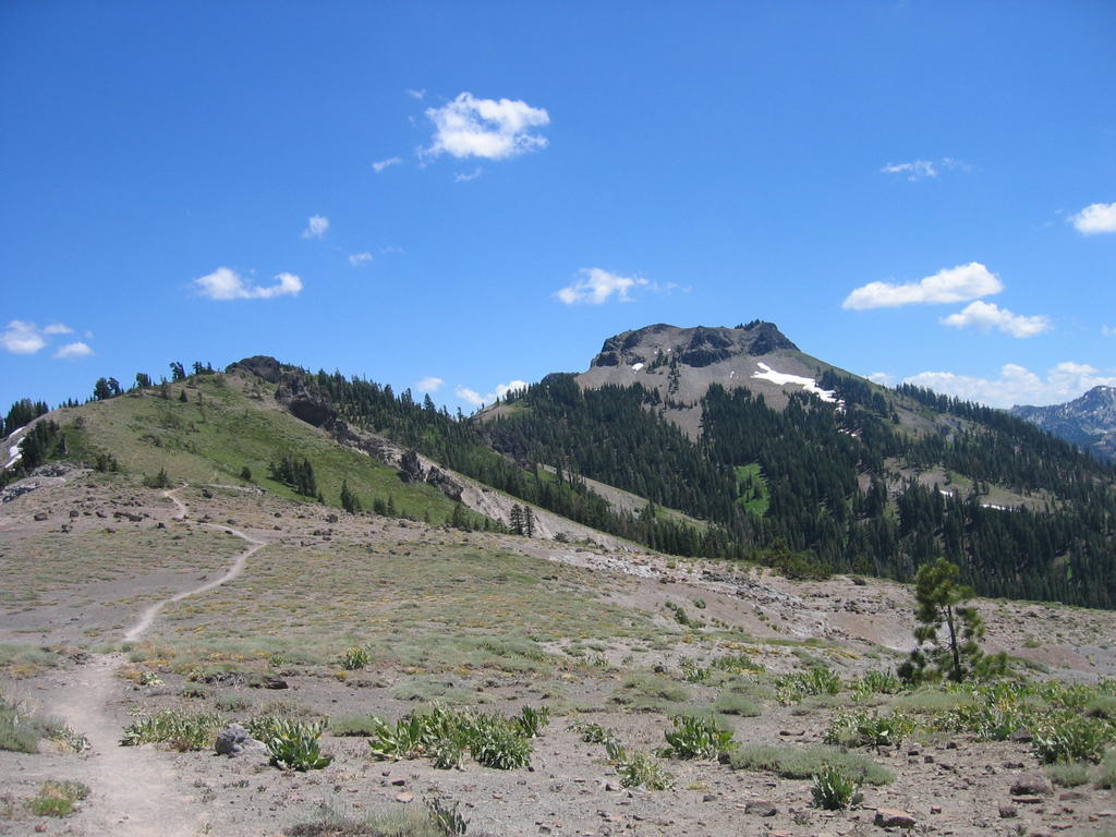
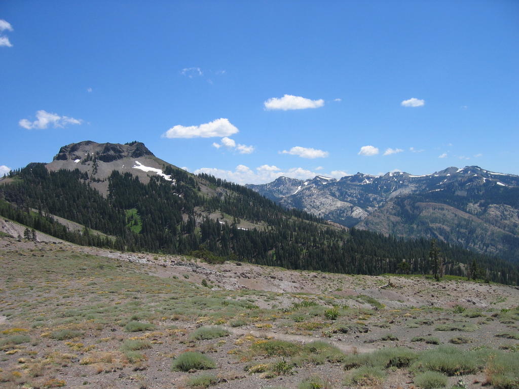
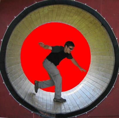
These first couple of pictures are from an overlook by the road, a little ways away from the trail head. This area is a real popular place for people to go road biking. Check out the hill going towards the lake. Yeah, people bike that. The funny part is that for some reason someone had thrown and old exercise bike out on a secluded section of the veiwpoint. It had obviously been there a while, and did provide a nice veiw from the saddle. Unfortunately, it was in dissrepair, and the the belt turned loosely around the fan, not really providing much friction, or smooth movement. Oh well.

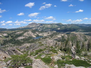


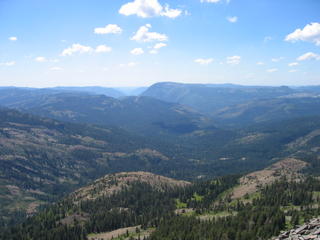

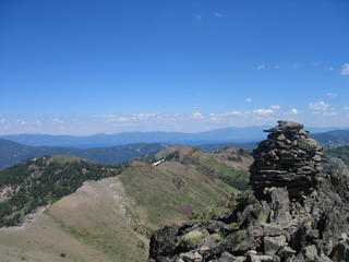
I had to scramble up a ways to get to the highest point, but it was well worth it for the views, which were not visible from the trail itself. There were some nicely done cairns up on top. Much more artistic than the typical pile of rocks. If you look closely in the last pic, you can see Lake Tahoe sprawling out in front the of the farthest mountain range.
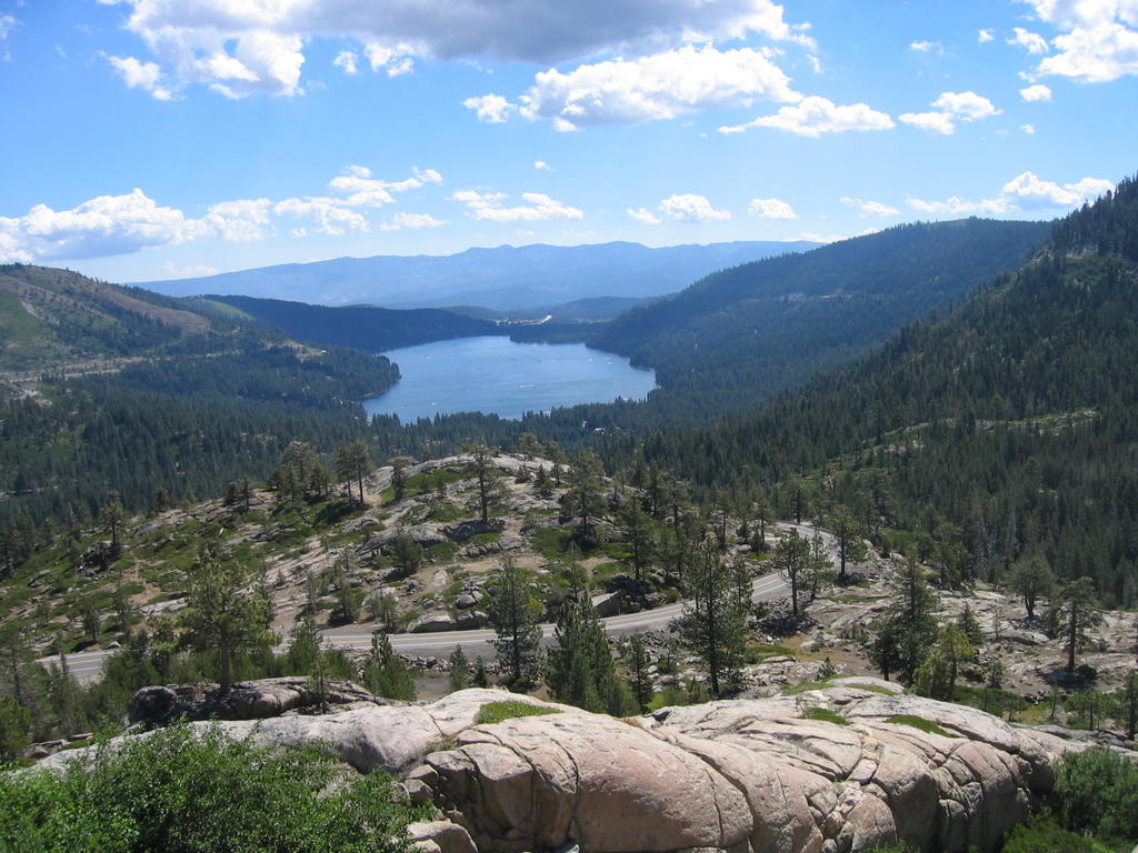


These first couple of pictures are from an overlook by the road, a little ways away from the trail head. This area is a real popular place for people to go road biking. Check out the hill going towards the lake. Yeah, people bike that. The funny part is that for some reason someone had thrown and old exercise bike out on a secluded section of the veiwpoint. It had obviously been there a while, and did provide a nice veiw from the saddle. Unfortunately, it was in dissrepair, and the the belt turned loosely around the fan, not really providing much friction, or smooth movement. Oh well.
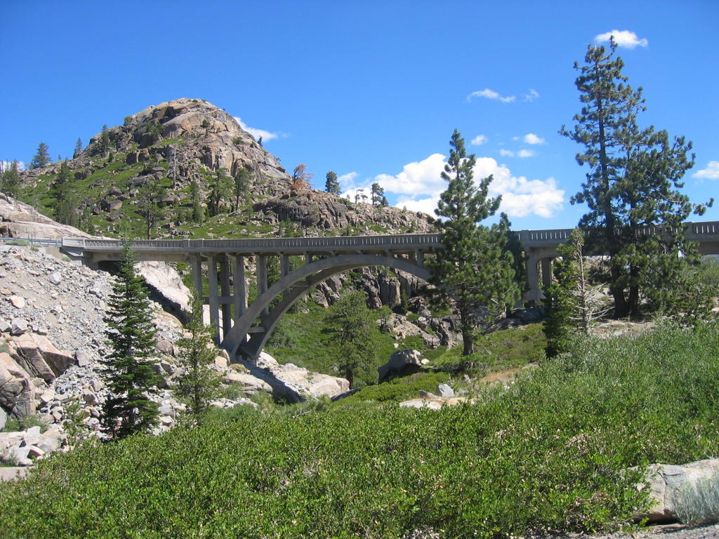


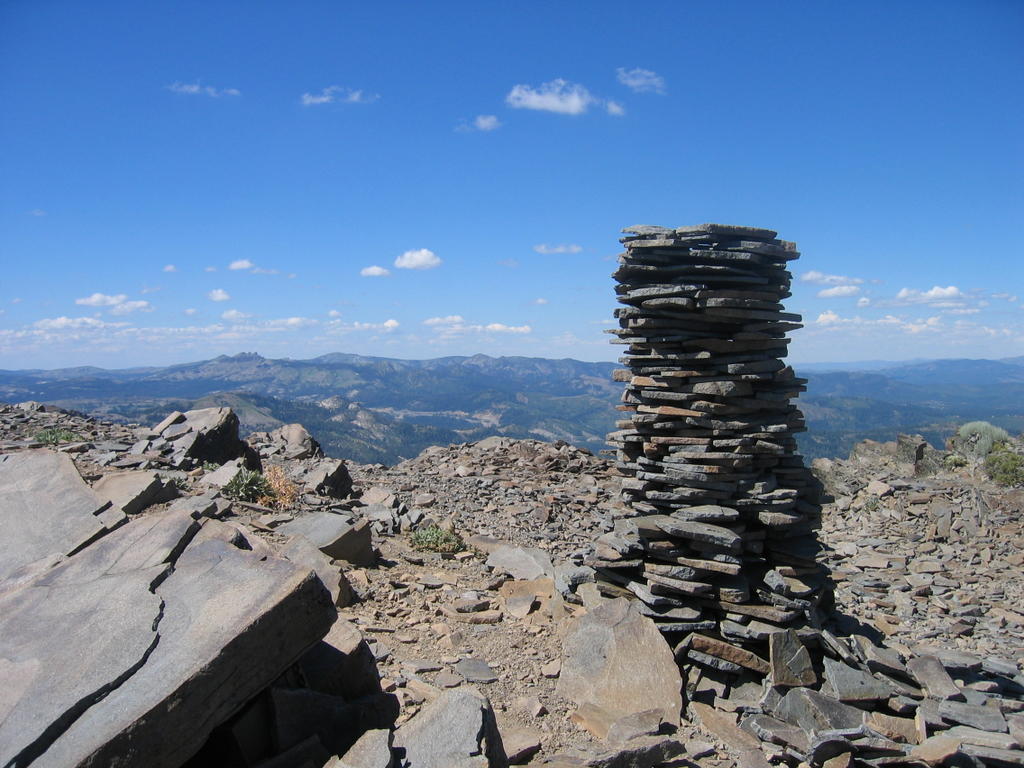
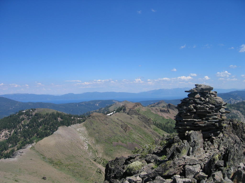
I had to scramble up a ways to get to the highest point, but it was well worth it for the views, which were not visible from the trail itself. There were some nicely done cairns up on top. Much more artistic than the typical pile of rocks. If you look closely in the last pic, you can see Lake Tahoe sprawling out in front the of the farthest mountain range.
posted by Frick at 12:50 PM
![]()
![]()

0 Comments:
Post a Comment
<< Home